Flood Protection For Commercial Assets
Flood protection is an economic problem as well as a human one. It’s not just people’s homes and the misery this causes when the flood water rises, the problem is bigger than this. Flooding can effect sewerage plants causing environmental and health issues. It can cause substations to cut out and cause power loss. It can cause millions of pounds of lost stock and stop factories from working.
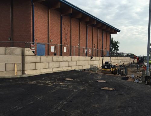
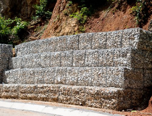
The example in the image on this page is a flood protection wall set at a height to protect a water pumping station that has been built on a flood plane.
This is a simple solution to prevent the plant from flooding.
If you have a commercial asset built on a flood plane, we would recommend that you have a flood risk assessment carried out. We can help you carry out a flood risk assessment for your business. Contact us.
Altenatively you can carry out some basic research using the the environmental agency website. The page on the following link explain about flood planes and includes a link to coastal and river flood maps. You can zoom into where your asset, to see if you are in a zone 1 or 2 flood zone. Flood maps for planning
Floodplain Map
A floodplain is the area that would naturally be affected by flooding if a river rises above its banks, or high tides and stormy seas cause flooding in coastal areas.
There are two different kinds of area shown on the Flood Map for Planning (rivers and the sea). They can be described as follows:
- Flood Zone 3
 shows the area that could be affected by flooding, either from rivers or the sea, if there were no flood defences. This area could be flooded:
- from the sea by a flood that has a 0.5 per cent (1 in 200) or greater chance of happening each year;
- or from a river by a flood that has a 1 per cent (1 in 100) or greater chance of happening each year.
- Flood Zone 2
 shows the additional extent of an extreme flood from rivers or the sea. These outlying areas are likely to be affected by a major flood, with up to a 0.1 per cent (1 in 1000) chance of occurring each year.
These two colours show the extent of the natural floodplain if there were no flood defences or certain other man made structures and channel improvements.
- Where there is no blue shading, this shows the area where flooding from rivers and the sea is very unlikely. There is less than a 0.1 per cent (1 in 1000) chance of flooding occurring each year. The majority of England falls within this area. (For planning and development purposes, this is Flood Zone 1)
Go to Flood maps for planning
If your asset is at risk then we may be able to help you. Download our flood wall design and build guide.
Flood protection wall design and build guide
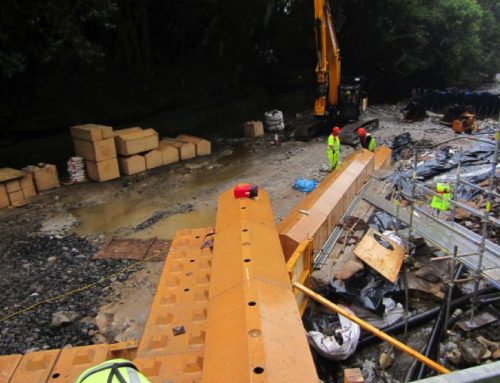
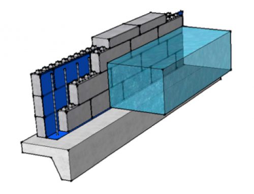
We have designed a number of flood protection solutions together with a flood protection design and build guide. Click on the image below and download your copy.

